

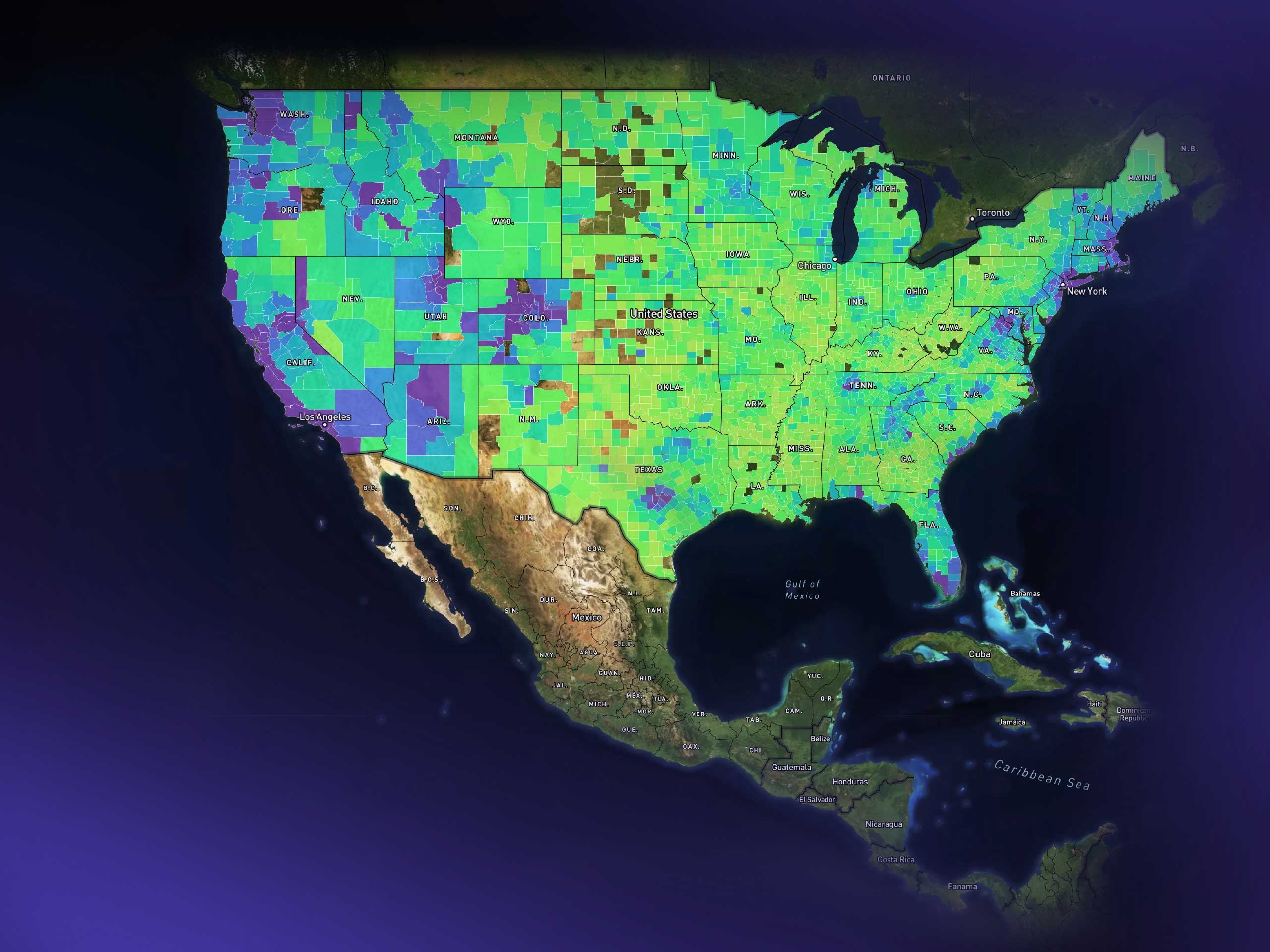
A nationwide TopHap map illustrating the expansion of the platform’s real estate intelligence across the U.S. County-level geographic areas are represented through a color-coded analytical layer, demonstrating how the product evolved from its early California focus into a system capable of visualizing market data at national scale. The image reflects the scalability of TopHap’s map-first architecture and its ability to support increasingly broad geographic datasets.