

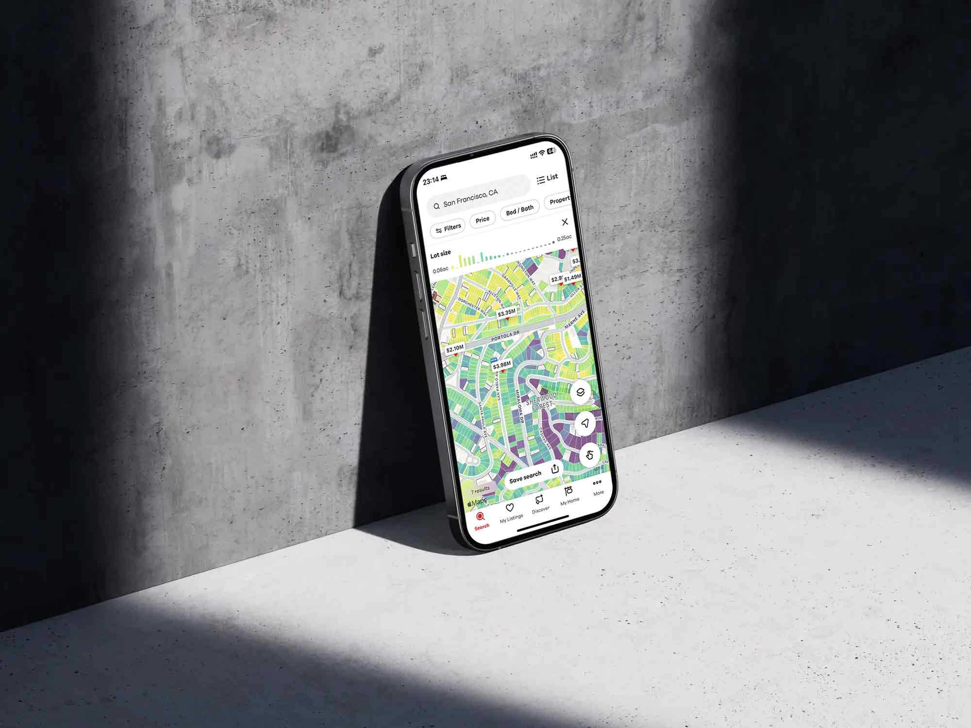
A Realtor.com mobile interface showing TopHap’s map-based property intelligence applied to lot size data. Individual parcels are color-coded to reveal geographic patterns while remaining connected to active property listings and search results. The integration demonstrates how TopHap’s parcel-level visualization system could scale into a mainstream consumer real estate experience, making complex property attributes easier to understand spatially.